
Lippeaue topographic map
Interactive map
Click on the map to display elevation.
About this map
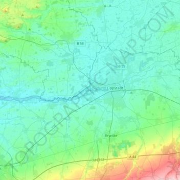
Name: Lippeaue topographic map, elevation, terrain.
Location: Lippeaue, Lippetal, Kreis Soest, Noordrijn-Westfalen, Duitsland (51.65144 7.96614 51.69248 8.33323)
Average elevation: 331 ft
Minimum elevation: 220 ft
Maximum elevation: 909 ft