
Arabuko-Sokoke Forest Reserve topographic map
Interactive map
Click on the map to display elevation.
About this map
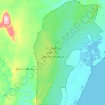
Name: Arabuko-Sokoke Forest Reserve topographic map, elevation, terrain.
Average elevation: 295 ft
Minimum elevation: -3 ft
Maximum elevation: 1,732 ft