
Cuatro Mojones topographic map
Interactive map
Click on the map to display elevation.
About this map
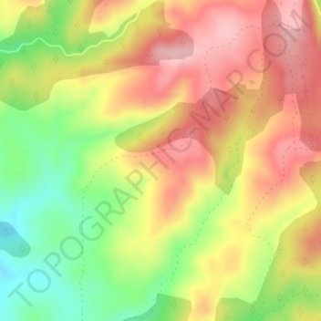
Name: Cuatro Mojones topographic map, elevation, terrain.
Location: Cuatro Mojones, Cuenca, Castille-La Manche, Espagne (40.25102 -1.92494 40.27102 -1.90494)
Average elevation: 4,823 ft
Minimum elevation: 4,531 ft
Maximum elevation: 5,056 ft
Other topographic maps
Click on a map to view its topography, its elevation and its terrain.
Covatilla
Espagne > Castille-La Manche > Cuenca
Covatilla, Cuenca, Castille-La Manche, Espagne
Average elevation: 3,228 ft