
引嫩干渠 topographic map
Interactive map
Click on the map to display elevation.
About this map
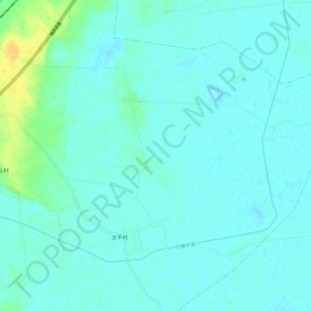
Name: 引嫩干渠 topographic map, elevation, terrain.
Location: 引嫩干渠, 平洋镇, 泰来县, 齐齐哈尔市, 黑龙江省, 161000, 中国 (46.54021 123.54214 46.61300 123.64979)
Average elevation: 459 ft
Minimum elevation: 446 ft
Maximum elevation: 525 ft