
Innenstadt topographic map
Interactive map
Click on the map to display elevation.
About this map
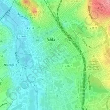
Name: Innenstadt topographic map, elevation, terrain.
Location: Innenstadt, Fulde, Landkreis Fulda, Hesse, 36037, Allemagne (50.54366 9.66528 50.55723 9.69021)
Average elevation: 909 ft
Minimum elevation: 801 ft
Maximum elevation: 1,152 ft