
Dingelstädt topographic map
Interactive map
Click on the map to display elevation.
About this map
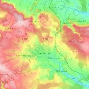
Name: Dingelstädt topographic map, elevation, terrain.
Location: Dingelstädt, Landkreis Eichsfeld, Thuringia, 37351, Germany (51.28117 10.22386 51.36933 10.37901)
Average elevation: 1,312 ft
Minimum elevation: 932 ft
Maximum elevation: 1,690 ft