
Wingfield topographic map
Interactive map
Click on the map to display elevation.
About this map
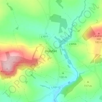
Name: Wingfield topographic map, elevation, terrain.
Location: Wingfield, Hollyfort, County Wexford, Leinster, Ireland (52.69607 -6.36760 52.73607 -6.32760)
Average elevation: 476 ft
Minimum elevation: 249 ft
Maximum elevation: 902 ft