
Crater Mountain topographic map
Interactive map
Click on the map to display elevation.
About this map
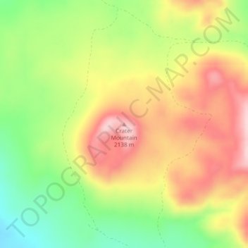
Name: Crater Mountain topographic map, elevation, terrain.
Average elevation: 6,670 ft
Minimum elevation: 6,283 ft
Maximum elevation: 7,041 ft
Other topographic maps
Click on a map to view its topography, its elevation and its terrain.
Boise City
États-Unis d'Amérique > Idaho > Boise City
Boise City, Ada County, Idaho, États-Unis d'Amérique
Average elevation: 2,953 ft
Missoula Lake
Missoula Lake, National Forest Development Road 320, Shoshone County, Idaho, États-Unis d'Amérique
Average elevation: 6,227 ft