
Tichy Haf topographic map
Interactive map
Click on the map to display elevation.
About this map
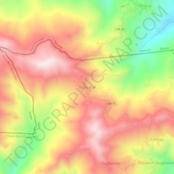
Name: Tichy Haf topographic map, elevation, terrain.
Location: Tichy Haf, Daïra Beni Ouartilane, Sétif, 06330, RADP (36.50547 4.86027 36.54547 4.90027)
Average elevation: 2,507 ft
Minimum elevation: 1,250 ft
Maximum elevation: 3,461 ft