
鸭水河村 topographic map
Interactive map
Click on the map to display elevation.
About this map
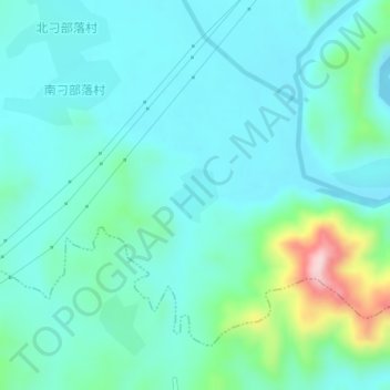
Name: 鸭水河村 topographic map, elevation, terrain.
Location: 鸭水河村, 石门寨镇, 海港区, 秦皇岛市, 河北省, 中国 (40.06672 119.63572 40.07053 119.63982)
Average elevation: 338 ft
Minimum elevation: 164 ft
Maximum elevation: 1,083 ft
Other topographic maps
Click on a map to view its topography, its elevation and its terrain.