
Pfunders topographic map
Interactive map
Click on the map to display elevation.
About this map
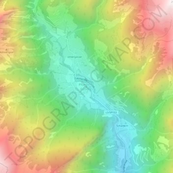
Name: Pfunders topographic map, elevation, terrain.
Location: Pfunders, Vintl, Pustertal, Bozen, Trentino-Südtirol, Italien (46.86733 11.68871 46.90733 11.72871)
Average elevation: 5,262 ft
Minimum elevation: 3,166 ft
Maximum elevation: 8,241 ft