
Istana Sri Pahang Bukit Fraser topographic map
Interactive map
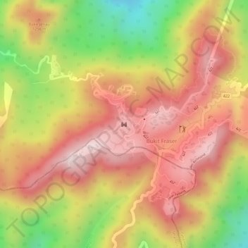
Click on the map to display elevation.
About this map
Name: Istana Sri Pahang Bukit Fraser topographic map, elevation, terrain.
Average elevation: 3,816 ft
Minimum elevation: 3,005 ft
Maximum elevation: 4,311 ft