
Zeballos topographic map
Interactive map
Click on the map to display elevation.
About this map
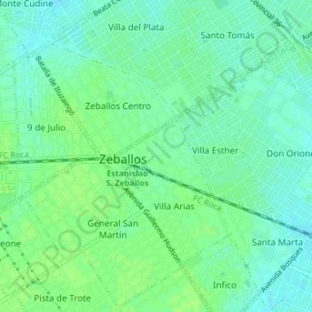
Name: Zeballos topographic map, elevation, terrain.
Average elevation: 75 ft
Minimum elevation: 56 ft
Maximum elevation: 89 ft
Other topographic maps
Click on a map to view its topography, its elevation and its terrain.
Zeballos
Argentina > Buenos Aires > Zeballos > Zeballos
Zeballos, Partido de Florencio Varela, Buenos Aires, Argentina
Average elevation: 79 ft