
Dharmasala topographic map
Interactive map
Click on the map to display elevation.
About this map
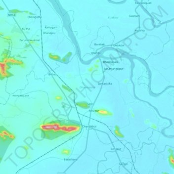
Name: Dharmasala topographic map, elevation, terrain.
Location: Dharmasala, Jajapur, Orissa, India (20.67391 86.04389 20.82544 86.27422)
Average elevation: 89 ft
Minimum elevation: 26 ft
Maximum elevation: 1,243 ft
Other topographic maps
Click on a map to view its topography, its elevation and its terrain.