
卢村乡 topographic map
Interactive map
Click on the map to display elevation.
About this map
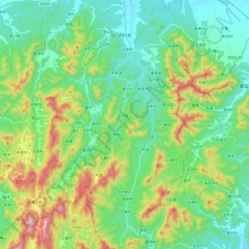
Name: 卢村乡 topographic map, elevation, terrain.
Location: 卢村乡, 广德市, 宣城市, 安徽省, 中国 (30.64436 119.32191 30.84861 119.48968)
Average elevation: 794 ft
Minimum elevation: 125 ft
Maximum elevation: 2,487 ft