
Tongoma topographic map
Interactive map
Click on the map to display elevation.
About this map
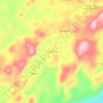
Name: Tongoma topographic map, elevation, terrain.
Location: Tongoma, Kono District, Eastern Province, Sierra Leone (8.58868 -10.85854 8.62868 -10.81854)
Average elevation: 1,519 ft
Minimum elevation: 958 ft
Maximum elevation: 1,926 ft