
Rusape topographic map
Interactive map
Click on the map to display elevation.
About this map
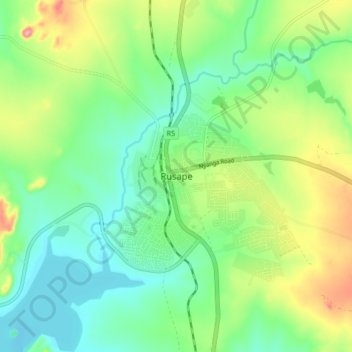
Name: Rusape topographic map, elevation, terrain.
Location: Rusape, Makoni, Manicaland, Zimbabwe (-18.57352 32.08460 -18.49352 32.16460)
Average elevation: 4,642 ft
Minimum elevation: 4,485 ft
Maximum elevation: 4,964 ft