
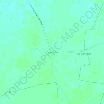
Tamchén topographic map
Interactive map
Click on the map to display elevation.
About this map
Name: Tamchén topographic map, elevation, terrain.
Location: Tamchén, Kinchil, Yucatán, Mexique (20.85486 -89.95152 20.89486 -89.91152)
Average elevation: 20 ft
Minimum elevation: 7 ft
Maximum elevation: 33 ft