
Lakkuru topographic map
Interactive map
Click on the map to display elevation.
About this map
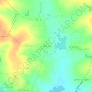
Name: Lakkuru topographic map, elevation, terrain.
Location: Lakkuru, Maluru taluk, Kolar district, Karnataka, India (12.90915 77.86637 12.94915 77.90637)
Average elevation: 2,900 ft
Minimum elevation: 2,841 ft
Maximum elevation: 2,966 ft