
Hattenhof topographic map
Interactive map
Click on the map to display elevation.
About this map
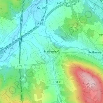
Name: Hattenhof topographic map, elevation, terrain.
Location: Hattenhof, Neuhof, Landkreis Fulda, Hessen, 36124, Duitsland (50.44765 9.65556 50.48765 9.69556)
Average elevation: 1,063 ft
Minimum elevation: 869 ft
Maximum elevation: 1,611 ft