
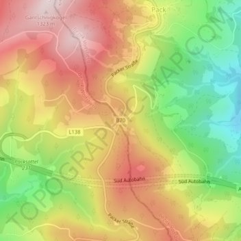
Packsattel topographic map
Interactive map
Click on the map to display elevation.
About this map
Name: Packsattel topographic map, elevation, terrain.
Average elevation: 3,688 ft
Minimum elevation: 2,963 ft
Maximum elevation: 4,327 ft
Die Ortschaft Pack liegt auf steirischer Seite unweit der Passhöhe