
Honey Hill topographic map
Interactive map
Click on the map to display elevation.
About this map
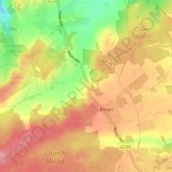
Name: Honey Hill topographic map, elevation, terrain.
Average elevation: 200 ft
Minimum elevation: 16 ft
Maximum elevation: 331 ft
Other topographic maps
Click on a map to view its topography, its elevation and its terrain.
Clowes Wood
United Kingdom > England > Kent > Canterbury > Blean
Clowes Wood, Blean, Canterbury, Kent, England, United Kingdom
Average elevation: 174 ft