
Baror topographic map
Interactive map
Click on the map to display elevation.
About this map
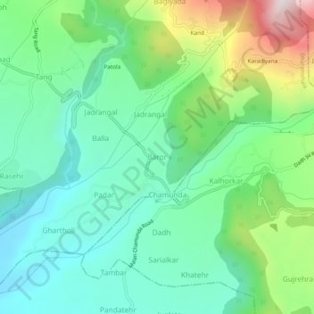
Name: Baror topographic map, elevation, terrain.
Location: Baror, Dharmsala, Kangra, Himachal Pradesh, 176052, India (32.13343 76.39852 32.17343 76.43852)
Average elevation: 3,760 ft
Minimum elevation: 3,074 ft
Maximum elevation: 5,459 ft