Geolocate

Duke topographic map

Click on the map to display elevation.

About this map

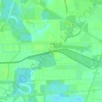
Name: Duke topographic map, elevation, terrain.

Location: Duke, Arcola, Fort Bend County, Texas, 77545, United States (29.48468 -95.50605 29.52468 -95.46605)

Average elevation: 66 ft

Minimum elevation: 46 ft

Maximum elevation: 82 ft

Fort Bend County trails, hiking, mountain biking, running and outdoor activities

Gear up for your next adventure:

🪑Portable Camp Table - Compact table for campsite meals
🧯Emergency Survival Kit - All‑in‑one survival essentials for the backcountry
🔥Plasma Lighters - Windproof lighters that work in any weather condition
🎒Day Hiking Backpack - Lightweight backpack perfect for day trips and outdoor adventures
🔋Rechargeable Batteries - Power up your outdoor devices

As an Amazon Associate, this site earns from qualifying purchases at no extra cost to you.