
Plan de Ayutla topographic map
Interactive map
Click on the map to display elevation.
About this map
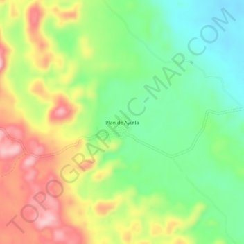
Name: Plan de Ayutla topographic map, elevation, terrain.
Location: Plan de Ayutla, Ocosingo, Chiapas, México (16.79256 -91.32720 16.83256 -91.28720)
Average elevation: 2,064 ft
Minimum elevation: 1,778 ft
Maximum elevation: 2,438 ft