Geolocate

Vamo topographic map

Click on the map to display elevation.

About this map
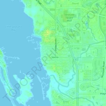
Name: Vamo topographic map, elevation, terrain.

Location: Vamo, Osprey, Sarasota County, Florida, United States (27.20964 -82.51193 27.23668 -82.47649)

Average elevation: 13 ft

Minimum elevation: 0 ft

Maximum elevation: 43 ft

Sarasota County trails, hiking, mountain biking, running and outdoor activities

Gear up for your next adventure:

🥄Camping Utensil Set - Lightweight utensils for outdoor meals
🛰️Satellite Messengers - Emergency SOS and two-way messaging for off-grid adventures
🔭Compact Binoculars - HD vision for scouting terrain and identifying distant landmarks
📷Action Camera - Capture your outdoor adventures in HD
🧷Carabiner Set - Durable clips for gear attachment

As an Amazon Associate, this site earns from qualifying purchases at no extra cost to you.