Pofadder topographic map
Interactive map
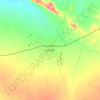
Click on the map to display elevation.
About this map
Name: Pofadder topographic map, elevation, terrain.
Average elevation: 3,271 ft
Minimum elevation: 3,064 ft
Maximum elevation: 3,517 ft

Click on the map to display elevation.
Name: Pofadder topographic map, elevation, terrain.
Average elevation: 3,271 ft
Minimum elevation: 3,064 ft
Maximum elevation: 3,517 ft