
Thank you for supporting this site ❤️
Make a donation
Make a donation
Gear up for your next adventure:
As an Amazon Associate, this site earns from qualifying purchases at no extra cost to you.
Gries am Brenner topographic map
Click on the map to display elevation.
Thank you for supporting this site ❤️
Make a donation
Make a donation
Gear up for your next adventure:
As an Amazon Associate, this site earns from qualifying purchases at no extra cost to you.
About this map
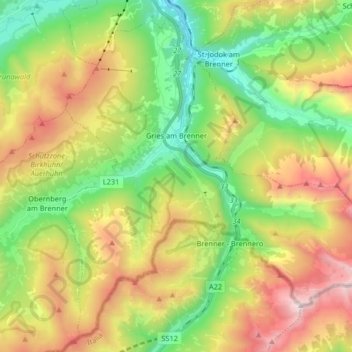
Name: Gries am Brenner topographic map, elevation, terrain.
Location: Gries am Brenner, Bezirk Innsbruck-Land, 6156, Austria (46.97409 11.42591 47.07624 11.58991)
Average elevation: 5,732 ft
Minimum elevation: 3,501 ft
Maximum elevation: 9,045 ft
Thank you for supporting this site ❤️
Make a donation
Make a donation
Gear up for your next adventure:
As an Amazon Associate, this site earns from qualifying purchases at no extra cost to you.