
Roisin topographic map
Interactive map
Click on the map to display elevation.
About this map
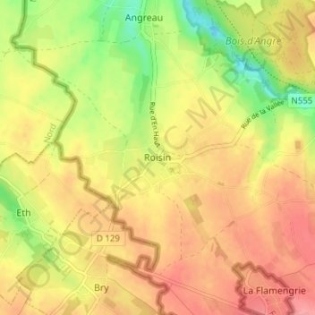
Name: Roisin topographic map, elevation, terrain.
Location: Roisin, Bergen, Henegouwen, Wallonië, 7387, België (50.31308 3.67381 50.35308 3.71381)
Average elevation: 312 ft
Minimum elevation: 157 ft
Maximum elevation: 420 ft