
Pollock topographic map
Interactive map
Click on the map to display elevation.
About this map
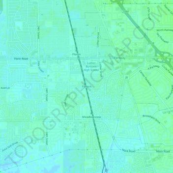
Name: Pollock topographic map, elevation, terrain.
Location: Pollock, Sacramento County, California, 95832-1447, USA (38.46935 -121.48857 38.50935 -121.44857)
Average elevation: 23 ft
Minimum elevation: 13 ft
Maximum elevation: 36 ft