
Graauw topographic map
Interactive map
Click on the map to display elevation.
About this map
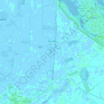
Name: Graauw topographic map, elevation, terrain.
Location: Graauw, Hulst, Zeeland, Nederland (51.29406 4.06273 51.35454 4.13338)
Average elevation: 0 ft
Minimum elevation: -13 ft
Maximum elevation: 20 ft
Other topographic maps
Click on a map to view its topography, its elevation and its terrain.