Champerboux topographic map
Interactive map
Click on the map to display elevation.
About this map
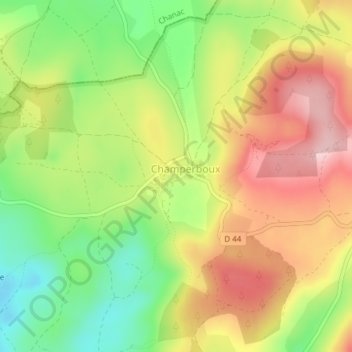
Name: Champerboux topographic map, elevation, terrain.
Average elevation: 3,074 ft
Minimum elevation: 2,736 ft
Maximum elevation: 3,412 ft

Click on the map to display elevation.
Name: Champerboux topographic map, elevation, terrain.
Average elevation: 3,074 ft
Minimum elevation: 2,736 ft
Maximum elevation: 3,412 ft