
Los Cedritos topographic map
Interactive map
Click on the map to display elevation.
About this map
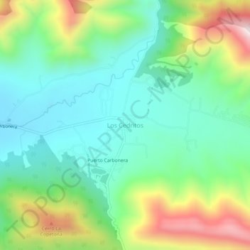
Name: Los Cedritos topographic map, elevation, terrain.
Location: Los Cedritos, Arteaga, Coahuila de Zaragoza, México (25.44128 -100.64620 25.48128 -100.60620)
Average elevation: 7,838 ft
Minimum elevation: 7,090 ft
Maximum elevation: 9,439 ft