
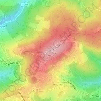
Höcherberg topographic map
Interactive map
Click on the map to display elevation.
About this map
Name: Höcherberg topographic map, elevation, terrain.
Average elevation: 1,385 ft
Minimum elevation: 1,014 ft
Maximum elevation: 1,699 ft
Other topographic maps
Click on a map to view its topography, its elevation and its terrain.
Steinbach
Deutschland > Saarland > Ottweiler
Steinbach, Ottweiler, Landkreis Neunkirchen, Saarland, Deutschland
Average elevation: 1,083 ft