
Moina topographic map
Interactive map
Click on the map to display elevation.
About this map
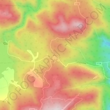
Name: Moina topographic map, elevation, terrain.
Location: Moina, Tasmania, Australia (-41.49428 146.07617 -41.45428 146.11617)
Average elevation: 1,850 ft
Minimum elevation: 755 ft
Maximum elevation: 2,575 ft
Other topographic maps
Click on a map to view its topography, its elevation and its terrain.