
Kaziranga topographic map
Interactive map
Click on the map to display elevation.
About this map
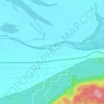
Name: Kaziranga topographic map, elevation, terrain.
Location: Kaziranga, Kaliabor, Nagaon, Assam, 785109, India (26.55870 93.22150 26.59870 93.26150)
Average elevation: 279 ft
Minimum elevation: 210 ft
Maximum elevation: 778 ft