
Bengal topographic map
Interactive map
Click on the map to display elevation.
About this map
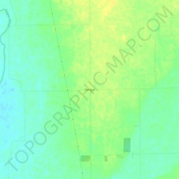
Name: Bengal topographic map, elevation, terrain.
Location: Bengal, Shelby County, Indiana, États-Unis d'Amérique (39.45350 -85.94290 39.49350 -85.90290)
Average elevation: 728 ft
Minimum elevation: 692 ft
Maximum elevation: 764 ft