
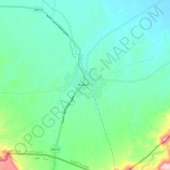
Dehiba topographic map
Interactive map
Click on the map to display elevation.
About this map
Name: Dehiba topographic map, elevation, terrain.
Location: Dehiba, Dhehbia Est, Dhehiba, Tataouine, Tunisie (31.96973 10.66099 32.04973 10.74099)
Average elevation: 1,079 ft
Minimum elevation: 823 ft
Maximum elevation: 2,031 ft