
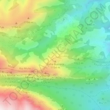
El Berro topographic map
Interactive map
Click on the map to display elevation.
About this map
Name: El Berro topographic map, elevation, terrain.
Location: El Berro, Mula, Río Mula, Región de Murcia, 30848, España (37.87920 -1.54124 37.89920 -1.52124)
Average elevation: 3,241 ft
Minimum elevation: 2,421 ft
Maximum elevation: 4,616 ft
Other topographic maps
Click on a map to view its topography, its elevation and its terrain.
Los Bernabeles
España > Región de Murcia > Mula
Los Bernabeles, Mula, Río Mula, Región de Murcia, España
Average elevation: 1,814 ft