
Ruisseau Blanc topographic map
Interactive map
Click on the map to display elevation.
About this map
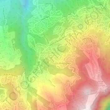
Name: Ruisseau Blanc topographic map, elevation, terrain.
Average elevation: 1,417 ft
Minimum elevation: 335 ft
Maximum elevation: 2,329 ft
Other topographic maps
Click on a map to view its topography, its elevation and its terrain.
Parc de Loisirs du Colorado
France > La Réunion > Saint-Denis > Ruisseau Blanc
Parc de Loisirs du Colorado, Ruisseau Blanc, Saint-Denis, La Réunion, France
Average elevation: 1,585 ft