
Saturn topographic map
Interactive map
Click on the map to display elevation.
About this map
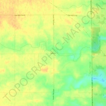
Name: Saturn topographic map, elevation, terrain.
Location: Saturn, Whitley County, Indiana, USA (41.01477 -85.37553 41.05477 -85.33553)
Average elevation: 843 ft
Minimum elevation: 778 ft
Maximum elevation: 876 ft