
Collestrada topographic map
Interactive map
Click on the map to display elevation.
About this map
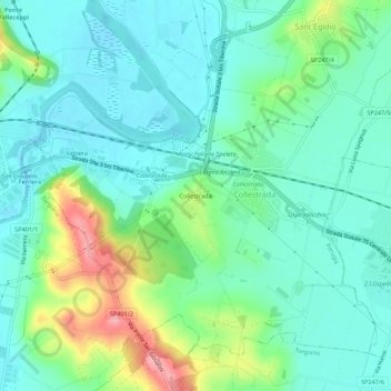
Name: Collestrada topographic map, elevation, terrain.
Location: Collestrada, Perugia, Umbria, 06135, Italia (43.06539 12.45267 43.10539 12.49267)
Average elevation: 699 ft
Minimum elevation: 587 ft
Maximum elevation: 1,017 ft