Geolocate

Los Vagos topographic map

Click on the map to display elevation.

About this map

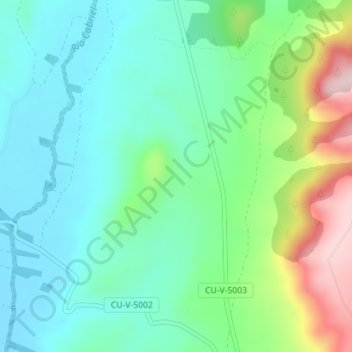
Name: Los Vagos topographic map, elevation, terrain.

Location: Los Vagos, Alcalá de la Vega, Cuenca, Castile-La Mancha, Spain (40.02463 -1.50854 40.04463 -1.48854)

Average elevation: 3,888 ft

Minimum elevation: 3,602 ft

Maximum elevation: 4,633 ft

Gear up for your next adventure:

👟Trail Running Shoes - Lightweight shoes for trail runners
📖Nature Tracking Books - Learn to track wildlife and terrain
🧺Microfiber Travel Towels - Compact and fast-drying towels for trail use
🎒Waterproof Dry Bags - Keep your electronics and maps dry inside your pack
⛑️Personal Locator Beacon - Safety beacon for emergencies

As an Amazon Associate, this site earns from qualifying purchases at no extra cost to you.