
Pratola Serra topographic map
Interactive map
Click on the map to display elevation.
About this map
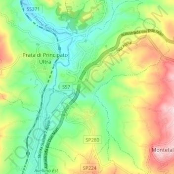
Name: Pratola Serra topographic map, elevation, terrain.
Location: Pratola Serra, Avellino, Campania, 83039, Italia (40.95454 14.83522 41.00178 14.88215)
Average elevation: 1,148 ft
Minimum elevation: 748 ft
Maximum elevation: 1,814 ft