Cabeza Antón topographic map
Interactive map
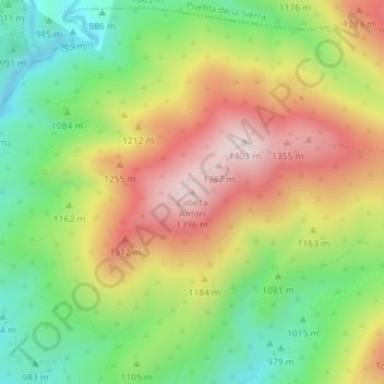
Click on the map to display elevation.
About this map
Name: Cabeza Antón topographic map, elevation, terrain.
Average elevation: 3,698 ft
Minimum elevation: 2,940 ft
Maximum elevation: 4,580 ft

Click on the map to display elevation.
Name: Cabeza Antón topographic map, elevation, terrain.
Average elevation: 3,698 ft
Minimum elevation: 2,940 ft
Maximum elevation: 4,580 ft