
Yiqen topographic map
Interactive map
Click on the map to display elevation.
About this map
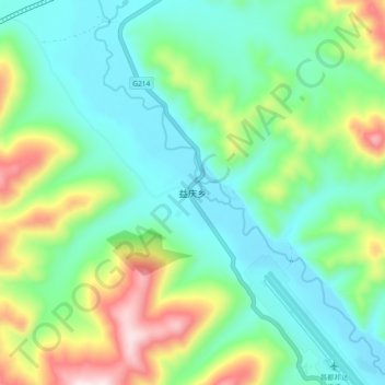
Name: Yiqen topographic map, elevation, terrain.
Location: Yiqen, Baxoi County, Chamdo City, Tibet, China (30.54813 97.03485 30.62813 97.11485)
Average elevation: 14,698 ft
Minimum elevation: 14,124 ft
Maximum elevation: 16,135 ft