
Koło topographic map
Interactive map
Click on the map to display elevation.
About this map
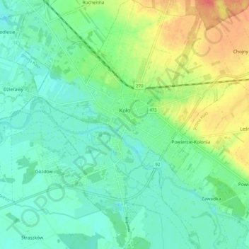
Name: Koło topographic map, elevation, terrain.
Location: Koło, powiat kolski, Grande-Pologne, Pologne (52.16735 18.59196 52.22942 18.67954)
Average elevation: 328 ft
Minimum elevation: 276 ft
Maximum elevation: 436 ft