
Anarak topographic map
Interactive map
Click on the map to display elevation.
About this map
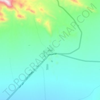
Name: Anarak topographic map, elevation, terrain.
Location: Anarak, چوپانان, بخش انارک, Isfahan Province, Iran (33.27041 53.65815 33.35041 53.73815)
Average elevation: 4,970 ft
Minimum elevation: 4,344 ft
Maximum elevation: 7,680 ft