
La Herrera topographic map
Interactive map
Click on the map to display elevation.
About this map
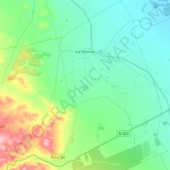
Name: La Herrera topographic map, elevation, terrain.
Location: La Herrera, Albacete, Castilla-La Mancha, España (38.87557 -2.16421 39.00082 -2.04873)
Average elevation: 2,425 ft
Minimum elevation: 2,277 ft
Maximum elevation: 2,861 ft