
Lampían topographic map
Interactive map
Click on the map to display elevation.
About this map
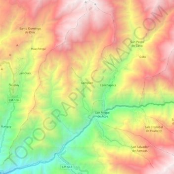
Name: Lampían topographic map, elevation, terrain.
Location: Lampían, Provincia de Huaral, Lima, Perú (-11.34282 -76.94651 -11.14170 -76.80346)
Average elevation: 9,390 ft
Minimum elevation: 3,241 ft
Maximum elevation: 16,079 ft